San Gabriel River of the Angeles National Forest (CA)
March 5, 2005
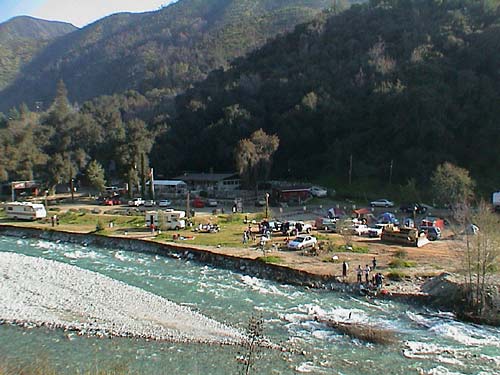
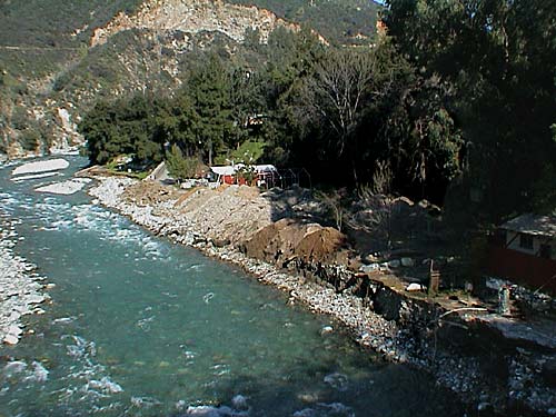
A very tiny section of the old camping area remains, adjacent the camp's trash bins,
The Fort's parking lot, and the road leading into the camp. The camping area in this
section has actually been expanded by the removal of the previously existing dirt
dikes which were removed for fill for the main entrance bridge.
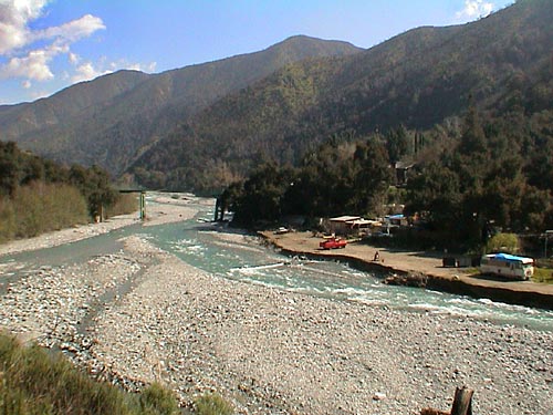
Receding waters have left the flood plain resembling a rocky lunar wasteland.
Camp Williams continues to stockpile soil to rebuild its campsites
and expects to be ready and in full operation for the Memorial weekend.
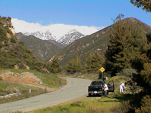
Mount San Antonio (Mt. Baldy) is viewed from near the end of Shoemaker Road.
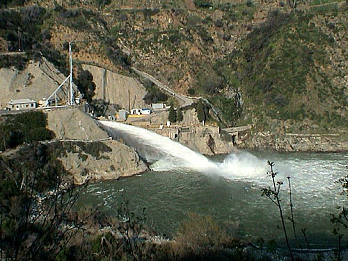
The San Gabriel Dam, with water about 12 feet from it's spillway,
reduces its stored water in anticipation of future storms.
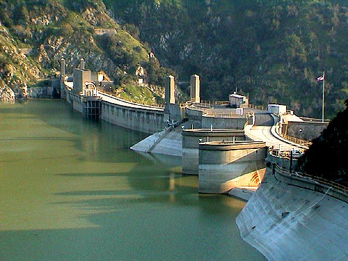
Further down stream the Morris Dam, with water about 6 feet from it's spillway
(seen in the lower right), is also releasing water.
East Fork Road, Follows Camp, Camp Williams, flooding, National Forest, San Gabriel River.